While I mainly work bodies of water, I field the question of whether or not I can make topographic pieces as well.
Answer: You bet, but there are some differences about topographic pieces that you should know.
With a lake, an island, or a coastline, there are usually certain, discernable landmarks that are visible and recognizable on a flat, two-dimensional map. Terrain, rough or smooth, is typically less recognizable in two-dimensions, unless you or the person you’re giving the piece to, is used to reading topographic maps. Personally, I love the look of topographic maps and the pieces I’m able to render from them, but some people find these pieces disappointingly flat or less interesting than the places they’re trying to represent.
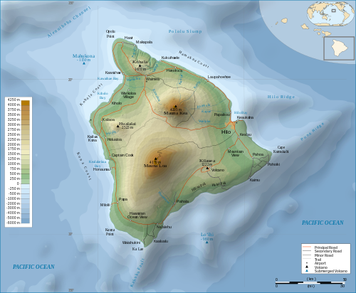
Here’s a topographic map of the Big Island of Hawaii (CC BY-SA 3.0).
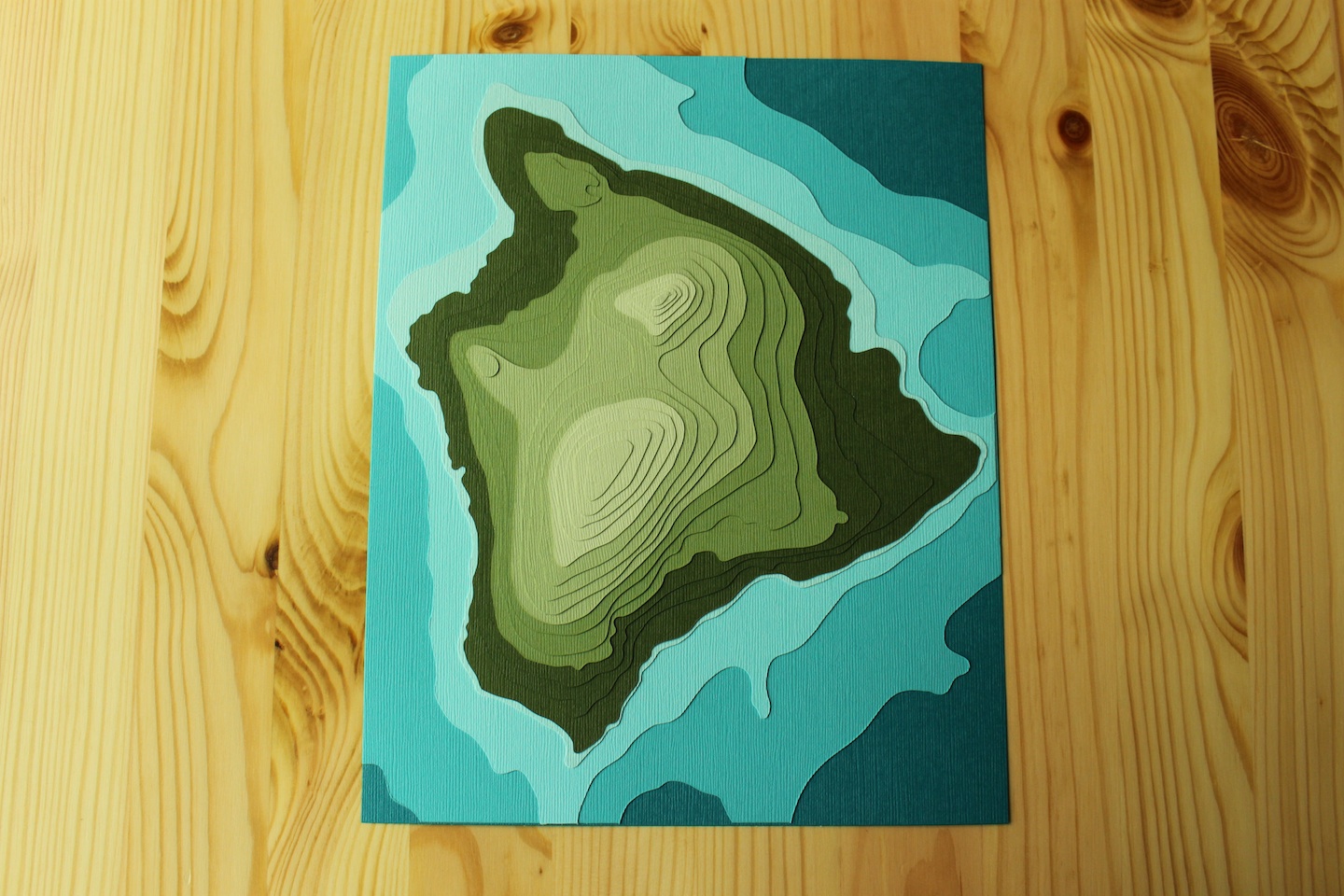
And here’s the 19-layer piece I made from that map.
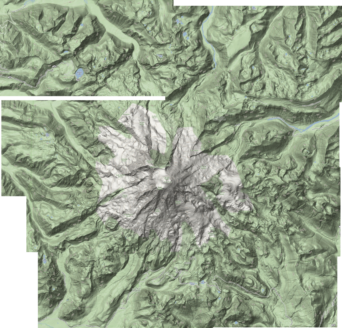
Here’s a topographic map of Mount Rainier.
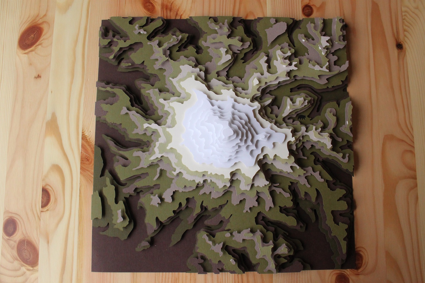
And here’s a floated, 16-layer piece I made from that map.
Here’s a topographic map of Nova Scotia.
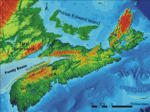
And here’s an 8-layer piece I made from that map.
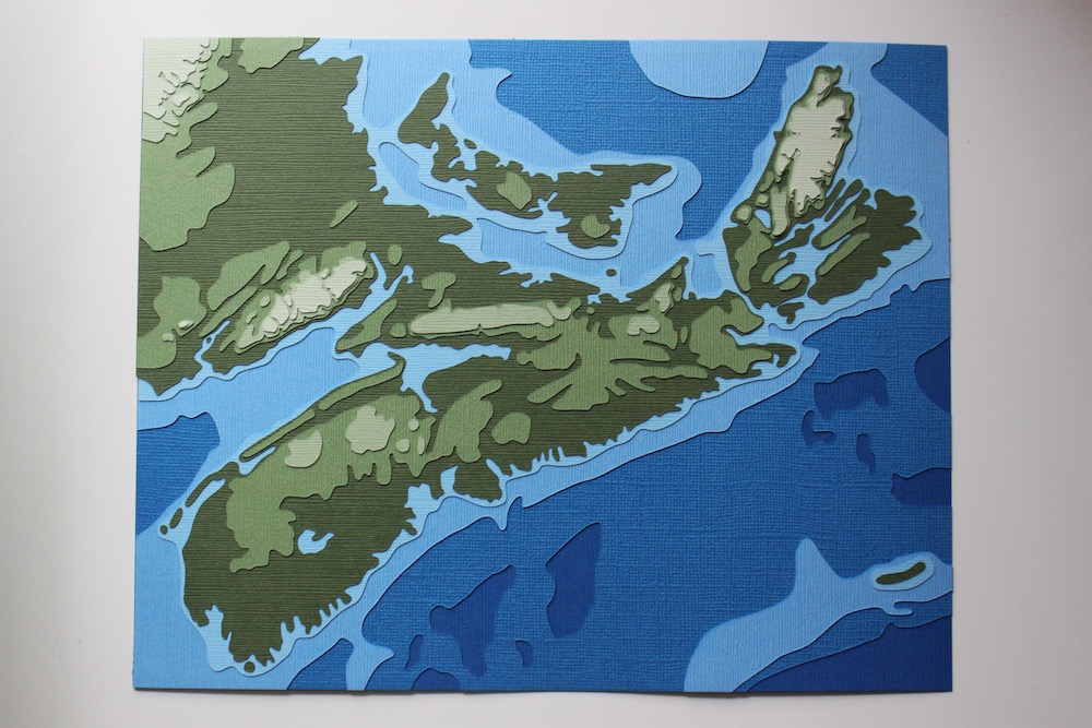
I hope these descriptions and photos give you a better sense of what to expect with topographic designs. Please feel free to explore this blog more, searching for land or topography, and feel free to make suggestions or ask questions if you’ve got some cool ideas about a land-based piece you’d like to see come to life.